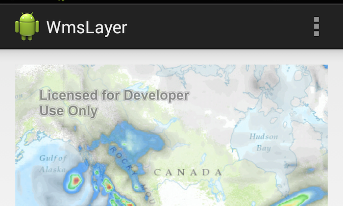
A Web Map Service (WMS) is a standard protocol for serving georeferenced map images that are generated by a map server. The specification was developed by the Open Geospatial Consortium (OGC). This sample uses meteorological data available through a WMS service (WMS 1.1.1) by OpenWeatherMap as an overlay layer on top of an Esri Topographic basemap.
- WMSLayer
- MapView
- MapOptions
The MapView is created in the main activity layout using MapOptions to generate a topo map with default location and zoom level. A WMSLayer is constructed using the url to the service endpoint. The visible layers, return image format, and opacity are set on the WMSLayer through there respective method calls and the layer is added to the MapView.
