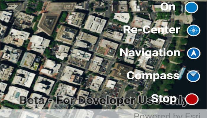
Display your current position on the map, as well as switch between different types of auto pan Modes.
When using a map within a GIS, it may be helpful for a user to know their own location within a map, whether that's to aid the user's navigation or to provide an easy means of identifying/collecting geospatial information at their location.
Tap the button in the lower right (which starts in Stop mode). A menu will appear with the following options:
- Stop - Stops the location display.
- On - Starts the location display with no
AutoPanModemode set. - Re-Center - Starts the location display with
AutoPanModeset toRECENTER. - Navigation - Starts the location display with
AutoPanModeset toNAVIGATION. - Compass - Starts the location display with
AutoPanModeset toCOMPASS_NAVIGATION.
- Create a
MapView. - Get the
LocationDisplayby calling.getLocationDisplay()on theMapView. - Use
startAsync()andstop()on theLocationDisplayas necessary.
- ArcGISMap
- LocationDisplay
- MapView
Location permissions are required for this sample.
compass, GPS, location, map, mobile, navigation
