

![]()
![]()

- Introducing the leafmap Python package for interactive mapping (video | gif | notebook)
- Using basemaps in leafmap (video | gif | notebook)
- Using Cloud Optimized GeoTIFF (COG) and SpatioTemporal Asset Catalog (STAC) (notebook)
- Creating a virtual mosaic of Cloud Optimized GeoTIFFs (COG) (notebook)
- Loading local raster datasets with leafmap (notebook)
- Adding custom legends to the map (notebook)
- Adding custom colorbars to the map (notebook)
- Using WhiteboxTools with leafmap (notebook)
- Converting CSV to points (notebook)
- Adding local vector data (e.g., shp, geojson, kml) to the map (notebook)
- Creating linked maps for visualizing multiple maps simultaneously (notebook)
- Creating a split-panel map with a single line of code (notebook)
- Adding a GeoPandas GeoDataFrame to the map with a single line of code (notebook)
- Adding data from a PostGIS database to the map (notebook)
- Downloading OpenStreetMap data to the map with a single line of code (notebook)
- Use HERE Map Widget for Jupyter as plotting backend (notebook)
- Adding vector tile layers to the map (notebook)
- Adding a point layer with popup attributes to the map (notebook)
- Saving maps as a html file (notebook)
- Adding Planet global monthly and quarterly mosaic (notebook)
- Using timeseries inspector with one click (notebook)
- Using time slider for visualizing timeseries images (notebook)
- Creating colormaps with a single line of code (notebook)
- Creating heat map from csv (notebook)
- Creating a population heat map with a colorbar and map title (notebook)
- Creating an interactive map using the kepler.gl plotting backend (notebook)
- Creating a basemap gallery (notebook)
- Publishing maps with a single line of code (notebook)
- Using the pydeck plotting backend (notebook)
- Using U.S. Census data (notebook)
- Searching basemaps with xyzservices (notebook)
- Loading local raster datasets and Cloud Optimized GeoTIFF (COG) (notebook)
- Adding image overlay to the map (notebook)
- Adding points from xy data (e.g., CSV, Pandas DataFrame) (notebook)
- Adding circle markers from xy data (e.g., CSV, Pandas DataFrame) (notebook)
- Adding labels to the map (notebook)
- Adding Planetary Computer STAC item to the map (notebook)
- Using the plotly plotting backend (notebook)
- Getting pixel values using the Inspector tool (notebook)
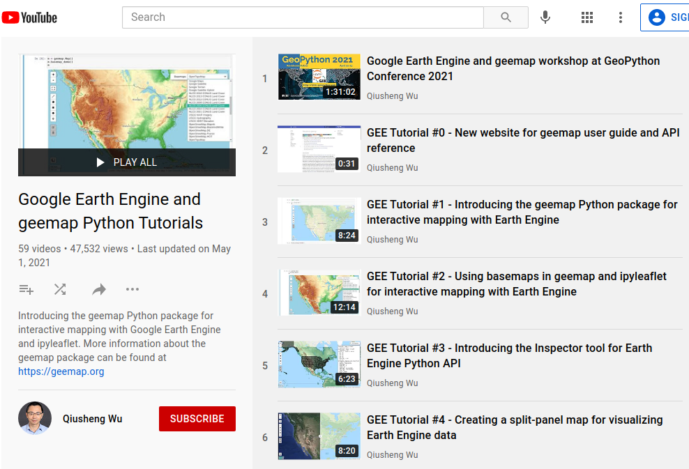
I have created a YouTube Channel for sharing geospaital tutorials. You can subscribe to my channel for regular updates. If there is any specific tutorial you would like to see, please submit a feature request here.