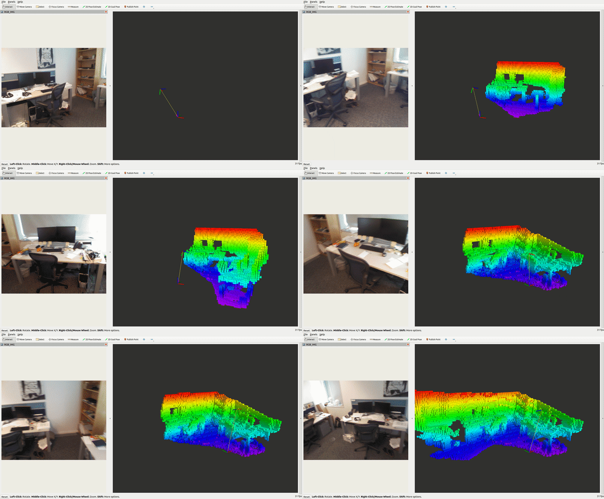
- Navigate towards your workspace
srcfolder
cd ~/ws_bonxai/src- Git clone the Bonxai package
git clone https://github.com/facontidavide/Bonxai.git- Go back to your
ws_bonxaiand build
cd ~/ws_bonxai && colcon build --packages-select bonxai_ros --symlink-install- Source your workspace setub.bash file
source ~/ws_bonxai/install/setup.bashThe Bonxai Server Node is launched with the following command, for basic deployment with a minimal number of tunnable parameters:
ros2 launch bonxai_ros bonxai_mapping.launch.xmlThere is another launch file that allows you to modify all the available parameters within the params/bonxai_params.yaml and launch the bonxai_server_node along RViz2.
ros2 launch bonxai_ros bonxai_mapping.launch.pyBonxai_server builds and distributes volumetric 3D occupancy maps for obstacle avoidance, planning or visualization. The map is incrementally built from incoming range data (as PointCloud2) either from RGBD cameras or LiDARs.
cloud_in (sensor_msgs/msg/PointCloud2)
Incoming 3D point cloud for scan integration. You need to remap this topic to your sensor data and provide a tf transform between the sensor data and the static map frame. The frame_id of the point cloud has to be the sensor frame. Raytracing (clearing of free space) is always done from the origin of this frame at the time of the point cloud.
bonxai_point_cloud_centers (sensor_msgs/msg/PointCloud2)
The centers of all occupied voxels as point cloud, useful for visualization. For an accurate visualization, manually change the pointcloud size in Rviz2 to the respective voxel resolution.
~reset (std_srvs/srv/Empty)
Resets the complete map.
~frame_id (string, default: /map)
Static global frame in which the map will be published. A transform from sensor data to this frame needs to be available when dynamically building maps.
~resolution (float, default: 0.05)
Resolution in meter (voxel_size) for the map when starting with an empty map.
~base_frame_id (string, default: base_footprint)
The robot's base frame.
~sensor_model/max_range (float, default: -1 (unlimited))
Maximum range in meter for inserting point cloud data when dynamically building a map. Limiting the range to something useful (e.g. 5m) prevents spurious erroneous points far away from the robot.
~sensor_model/[hit|miss] (float, default: 0.7 / 0.4)
Probabilities for hits and misses in the sensor model when dynamically building a map
~sensor_model/[min|max] (float, default: 0.12 / 0.97)
Minimum and maximum probability for clamping when dynamically building a map
~latch (bool, default: True for a static map, false if no initial map is given)
Whether topics are published latched or only once per change. For maximum performance when building a map (with frequent updates), set to false. When set to true, on every map change all topics and visualizations will be created.
~point_cloud_[min|max]_z (float, default: -/+ infinity)
Minimum and maximum height of points to consider for insertion in the callback. Any point outside of this intervall will be discarded before running any insertion.
~occupancy_[min|max]_z (float, default: -/+ infinity)
Minimum and maximum height of occupied cells to be consider in the final map. This ignores all occupied voxels outside of the interval when sending out visualizations and collision maps, but will not affect the actual Bonxai map representation.
sensor data frame → /map (static world frame, changeable with parameter frame_id)
Required transform of sensor data into the global map frame if you do scan integration. This information needs to be available from an external SLAM or localization node.


