


A Filament Field to get coordinates based on Google Maps.
You can install the package via composer:
composer require emiliobravo/filament-google-maps-pickerYou must define an environment variable GOOGLE_MAPS_API_KEY in your .env file with your Google Maps API Key
You can publish the config file with:
php artisan vendor:publish --tag="filament-google-maps-picker-config"This is the contents of the published config file:
return [
    'google_maps_key' => env('GOOGLE_MAPS_API_KEY')
];
Optionally, you can publish the views using
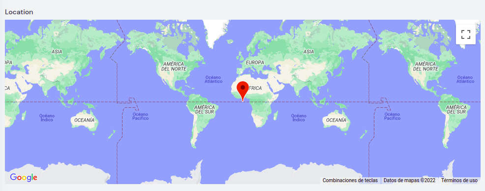
php artisan vendor:publish --tag="filament-google-maps-picker-views"use EmilioBravo\FilamentGoogleMapsPicker\Forms\Components\LocationPicker; LocationPicker::make('location')This will display a simple Google Maps field with a marker in latitude 0 and longitude 0. When you click on the map, the field value and the marker positions uptades to the new coordinates.
Use this methods to enable Google Maps controls:
zoomControl(bool) (default: false) displays de zoom controls allow the user to change it
mapTypeControl(bool) (default: false) displays the map type selection control
scaleControl(bool) (default: false) displays the map scale control
streetViewControl(bool) (default: false) displays the map StreetView control
fullScreenControl(bool) (default: false) displays the full screen control
rotateControl(bool) (default: false) displays the rotation control
searchBoxControl(bool) (default: false) displays search box control to search for locations. Will update the field value upon selection
geolocationControl(bool) (default: false) custom control to get the device geolocation and update the map position with it. It required the user to allow the device permission to access geolocation data
coordsBoxControl(bool) (default: false) custom control that shows a text input with current value of the field in the format latitude,longitude
zoom(int) (default: 1) takes an integer as value and sets the initial zoom of the map
minHeight(string) (default: 50vh) accepts a string to set the map height, must be a valid CSS min-height. Ex: 80vh, 30%, 50px
mapTypeId(string) (default: roadmap) accepts a string: roadmap,satellite,hybrid, terrain
searchBoxPlaceholderText(string) (default: Search Address) accepts a string to customize de search box placeholder text
locationButtonText(string) (default: My location) accepts a string to customize de location button text
fixMarkerOnCenter(bool) (default: false) when the user drags the map the marker pans to the center and updates the field value
default(array) (default: ['lat' => 0,'lng' => 0]) sets the default value
defaultToMyLocation(bool) (default: false) sets the default value to the current location
        LocationPicker::make('location')
            ->default(['lat' => 40.7587,'lng' => -73.9786])
            ->zoom(15)
            ->zoomControl()
            ->minHeight('60vh')
            ->mapTypeId('satellite')
            ->mapTypeControl()
            ->scaleControl()
            ->streetViewControl()
            ->fullScreenControl()
            ->rotateControl()
            ->searchBoxControl()
            ->searchBoxPlaceholderText('Type an address')
            ->geolocationControl()
            ->locationButtonText('Go to my location')
            ->defaultToMyLocation()
            ->coordsBoxControl()
            ->fixMarkerOnCenter()
This will display a map with all the available options

composer testPlease see CHANGELOG for more information on what has changed recently.
The MIT License (MIT). Please see License File for more information.