Introducing a novel hyperspectral and RGB UAV image dataset acquired over a vineyard. The UAVINE dataset contains hyperspectral images, RGB images and GNSS ground measurements of a 7 km2 vineyard which is located on the Korinthos region (37°57'18.0"N 22°46'19.6"E), at Peloponnese, Greece. The dataset was collected on three different days: Day 1- 24 June, Day 2- 11 July and Day 3- 31 July, 2023. Hyperspectral images folder includes three subfolders: Day 1, Day 2 and Day 3. On each subfolder are contained 36 files. The vineyard was captured on 12 flight lines. The 12 images are in .dat format. Each .dat file is accompanied with a .hdr file and a .txt file. Hyperspectral image are geometric and radiometric corrected. RGB images folder consists of three subfolders: Day 1, Day 2 and Day 3. Each subfolder includes the total of the RGB images collected on each day in .jpg format. GNSS folder contains a .txt file with the coordinates of the 9 points measured within the vineyard on the Day 1 in WGS 84 Coordinate system, as well as an image with the location of that points.
The images are licensed under BSD-3-Clause license. The contents of this repository are released under the license.
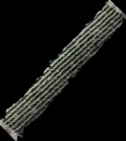
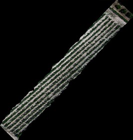
Sample Hyperspecral images: HI1.jpg & HI2.jpg
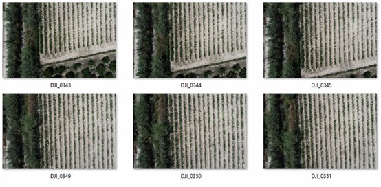
Sample RGB images: RGB1.jpg
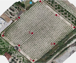
GNSS points location: GNSSLocations.jpg
You may download the data here.


