NRL MSISE-00 atmospheric model for Python ≥ 3.6, also accessible via Matlab or GNU Octave. Valid from altitude z = 0..1000 km.
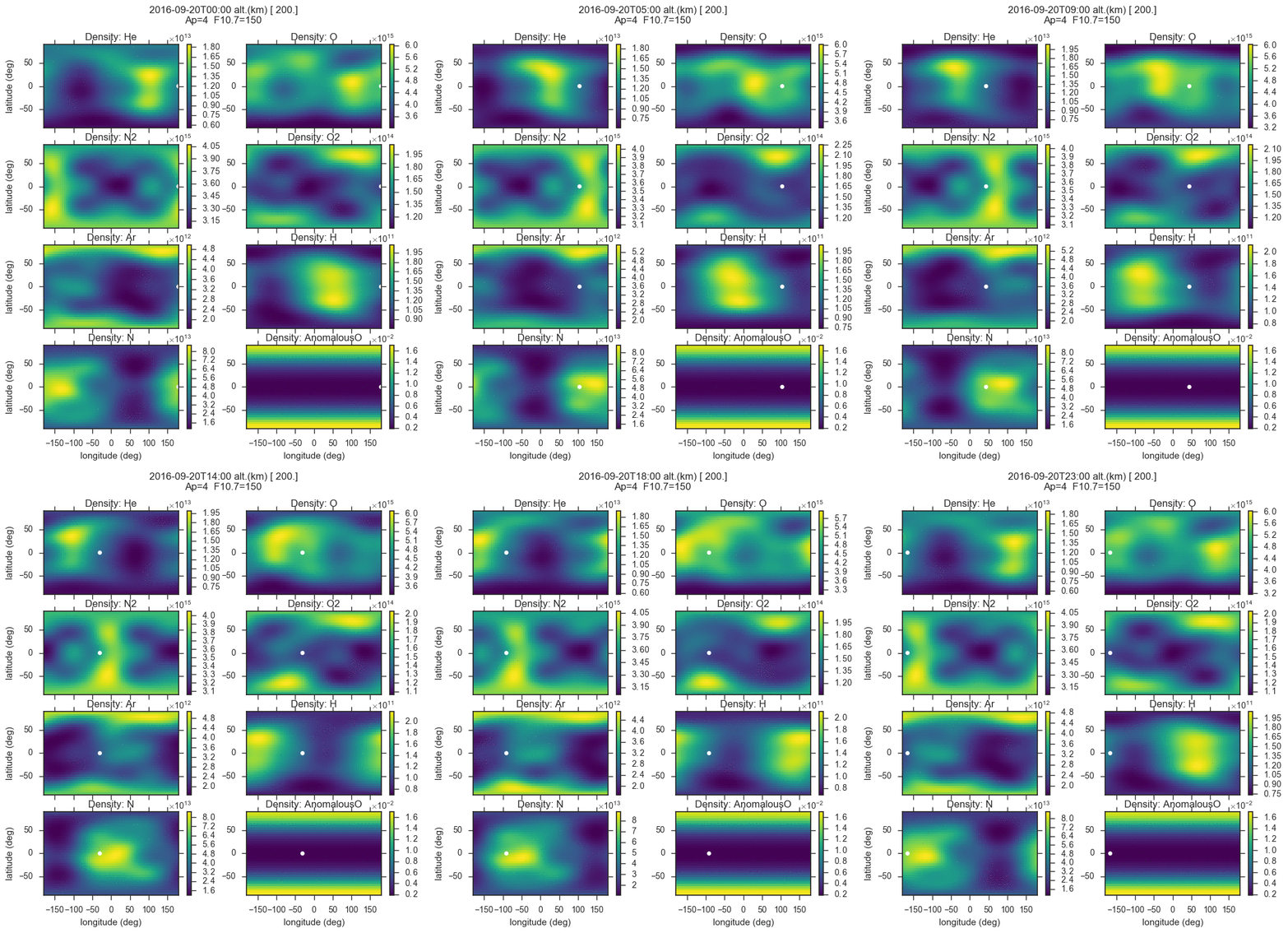
The plot immediately below shows a slice at 200km on a world-wide grid. The yellow ball represents the sun footprint on Earth.
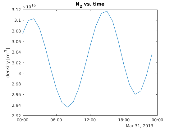
This plot is from Matlab calling MSISE00:
This process is used for the Python and Matlab access to MSIS. Any Fortran compiler should work. Fortran compiler may be installed by
- MacOS / Homebrew:
brew install gcc - Linux:
apt install gfortran - Windows
Get MSISE00 and install Python package:
pip install msise00or for the latest development code
git clone https://github.com/space-physics/msise00

python -m pip install -e msise00
This Python module uses our build-on-run technique. The first time you use this Python module, you will see messages from the Meson build system.
MSISE00 can be used from the command line, as an imported module, and even from Matlab.
import msise00
from datetime import datetime

atmos = msise00.run(time=datetime(2013, 3, 31, 12), altkm=150., glat=65., glon=-148.)
atmos is an xarray.Dataset containing all the simulation output values.
atmos is 4-D: (time, altitude, lat, lon), and indexed like atmos['N2']
Write NetCDF4 output (HDF5 compatible) with command line argument -w filename.nc.
Simple examples include:
-
AltitudeProfile.py
-
TimeProfile.py
-
Worldgrid.py
-
Altitude Profile at a single time:
python MSISE00.py -t 2017-08-21T20:48 -c 40 -90
-
Alt. profile time-range with hourly time step:
python MSISE00.py -t 2017-08-21 2017-08-22 -c 40 -90
-
Grid: time,lat,lon: generates the plots in the README:
python MSISE00.py -t 2016-09-20 2016-09-21
-
single time lat/lon can be plotted:
python MSISE00.py -t 2017-01-02T12
Matlab and GNU Octave users use of MSISE00 is demonstrated in AltitudeProfile.m and msise00.m.
MSISE00 will automatically compile "build on run" on first run from Matlab or Octave.
Optionally, verify Matlab is working by from the top msise00/ directory in Terminal
matlab -batch runtests('tests')

