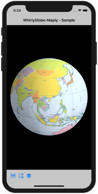
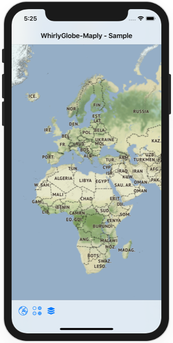
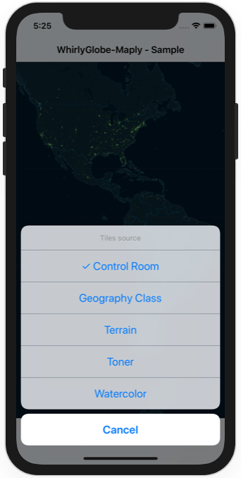
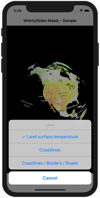
Sample Swift 5 project using WhirlyGlobe-Maply 2.6.1 on iOS, derived from parts of the getting started guide.
Icons thanks to Icons 8 (license).
Control Room and Geography Class map tiles generated with TileMill (project page, github).
Terrain and Toner map tiles by Stamen Design, under CC BY 3.0. Data by OpenStreetMap, under ODbL.
Watercolor map tiles by Stamen Design, under CC BY 3.0. Data by OpenStreetMap, under CC BY SA.
Land surface temperature layer thanks to NASA GIBS.
Coastline layer, Coastlines / Border / Roads layer thanks to NASA GIBS. Data by OpenStreetMap, under ODbL.
Run pod install, then open the workspace.
Note: before running pod install, mercurial must be installed to satisfy a WhirlyGlobe-Maply dependecy, "eigen".


