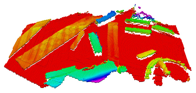
This is a C++ library to manage two-dimensional grid maps with multiple data layers. It is designed with mobile robots in mind and typical usage including storing local data such as elevation, variance, color, friction_coefficient, quality, surface_normal_x, surface_normal_y, surface_normal_z etc. It is used in the Robot-Centric Elevation Mapping framework.
The storage structure is implemented as two-dimensional circular buffer so the map can be moved efficiently while the data keeps its correspodance to a fixed reference frame. This library builds on the Eigen library and provides interfaces and message definitions for ROS. Currently, only float data can be stored in the grid map.
Author: Péter Fankhauser, [email protected]
Affiliation: Autonomous Systems Lab, ETH Zurich
The methods used in this software are described in the following paper (available here):
P. Fankhauser, M. Bloesch, C. Gehring, M. Hutter, and R. Siegwart, "Robot-Centric Elevation Mapping with Uncertainty Estimates", in International Conference on Climbing and Walking Robots (CLAWAR), 2014.
@inproceedings{Fankhauser2014RobotCentricElevationMapping,
  author = {Fankhauser, Péter and Bloesch, Michael and Gehring, Christian and Hutter, Marco and Siegwart, Roland},
  title = {Robot-Centric Elevation Mapping with Uncertainty Estimates},
  booktitle = {International Conference on Climbing and Walking Robots (CLAWAR)},
  year = {2014}
}
In order to install, clone the latest version from this repository into your catkin workspace and compile the package using
cd catkin_workspace/src
git clone https://github.com/ethz-asl/elevation_mapping.git
cd ../
catkin_make
Run the unit tests with
catkin_make run_tests_grid_map_lib run_tests_grid_map_lib
Please report bugs and request features using the Issue Tracker.
