make a GPX overlayerd map from multiple GPXs
bin/overlay.py -c green --line-alpha 0.2bin/overlay.py -c red --line-alpha 0.2Usage: overlay.py [options]
Options:
-h, --help show this help message and exit
-d ACTIVITIES, --activities-dir=ACTIVITIES
path to directory contains GPX activities
-c COLOR, --line-color=COLOR
specify PolyLine color
-a ALPHA, --line-alpha=ALPHA
specify PolyLine opcacity
-w WEIGHT, --line-weight=WEIGHT
specify PolyLine weight
-z ZOOM, --zoom=ZOOM specify map zoom level
-o OUTPUT, --output=OUTPUT
path to HTML output
-t TILES, --tile=TILES
tile server
-l LOCATION, --location=LOCATION
central point (latitude, longitude) of the map
$ ls -1 data/activities/ | head
20160602-120512-Ride.gpx
20160611-024718-Ride.gpx
20160613-015834-Ride.gpx
20160613-131411-Ride.gpx
20160615-112622-Ride.gpx
20160618-094548-Ride.gpx
20160619-013905-Ride.gpx
20160619-070943-Ride.gpx
...

$ bin/overlay.py
$ open overlay.html
$ bin/overlay.py -t cartodbpositron -c green --line-alpha 0.2
$ open overlay.html
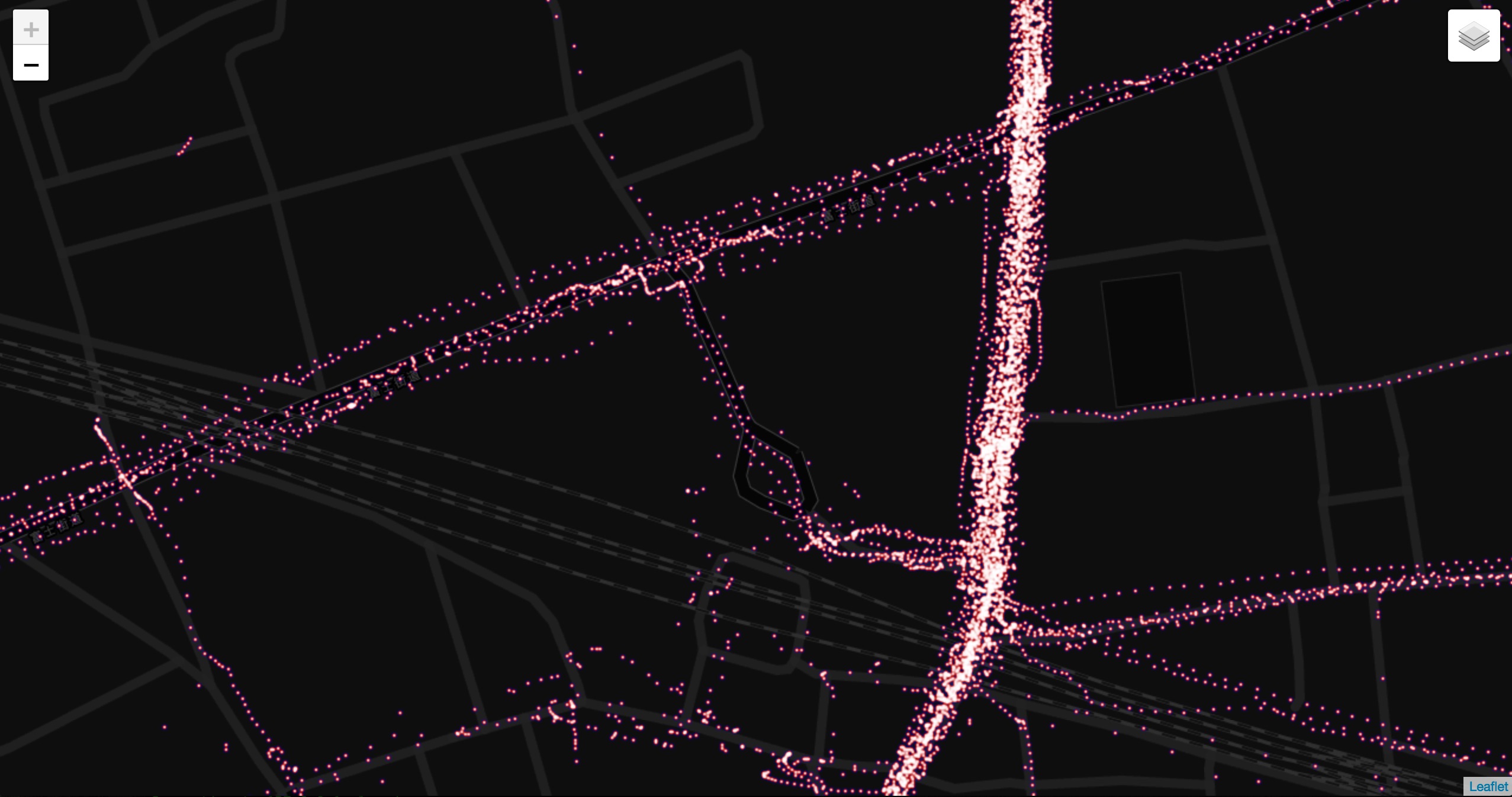
$ bin/heatmap.py
$ open heatmap.html$ bin/heatmap.py --gradient '{ "0.4":"blue","0.65":"red","1":"white" }' --radius 2 --blur 1
$ open heatmap.htmlUsage: heatmap.py [options]
Options:
-h, --help show this help message and exit
-d ACTIVITIES, --activities-dir=ACTIVITIES
path to directory contains GPX activities
-z ZOOM, --zoom=ZOOM specify map zoom level
-o OUTPUT, --output=OUTPUT
path to HTML output
-t TILES, --tile=TILES
tile server
-b BLUR, --blur=BLUR specify heatmap blur
-r RADIUS, --radius=RADIUS
specify heatmap radius
-g GRADIENT, --gradient=GRADIENT
specify heatmap color gradient
-l LOCATION, --location=LOCATION
central point (latitude, longitude) of the map
- Python3


