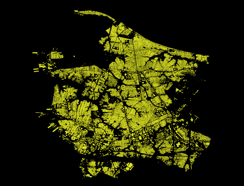
Repository for getting the City of Norfolk GIS layers imported to OpenStreetMap
City of Norfolk, Virginia GIS department has provided building footprints and address points for importing into OpenStreetMap via their Open Data Portal. The data is provided as is, with compatible license.
80,045 Total Buildings
- 53,140 Buildings (!= shed/garage) with Addresses - 66% :|
Imports will be done through the dedicated user account jonahadkins_norfolk_import and will be done through OSM Import Guidelines - See Wiki
Imported building swill have the following building= tags populated:
| Building | Count |
|---|---|
| commercial | 4,121 |
| garage | 13,249 |
| hospital | 10 |
| residential | 55,160 |
| school | 51 |
| yes | 7,454 |

