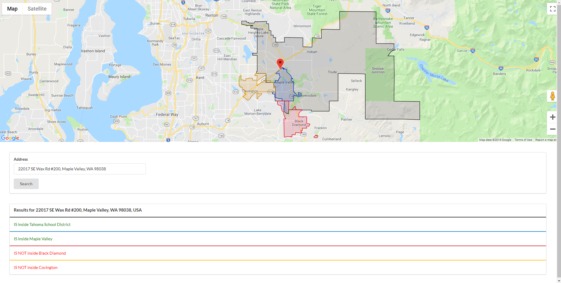
foodmap is a basic web app used by a few food banks in Washington state to determine client eligibility based on geographical boundaries.
Live demo available at https://monixlabs.com/foodmap.
There are many ways to get GeoJSON representations of anything you could need (cities, school districts, etc.) for free. One of the easiest methods is to use Nominatim to get the data via OpenStreetMap. e.g: https://nominatim.openstreetmap.org/search.php?q=Bonney+Lake+Wa&polygon_geojson=1&format=json

