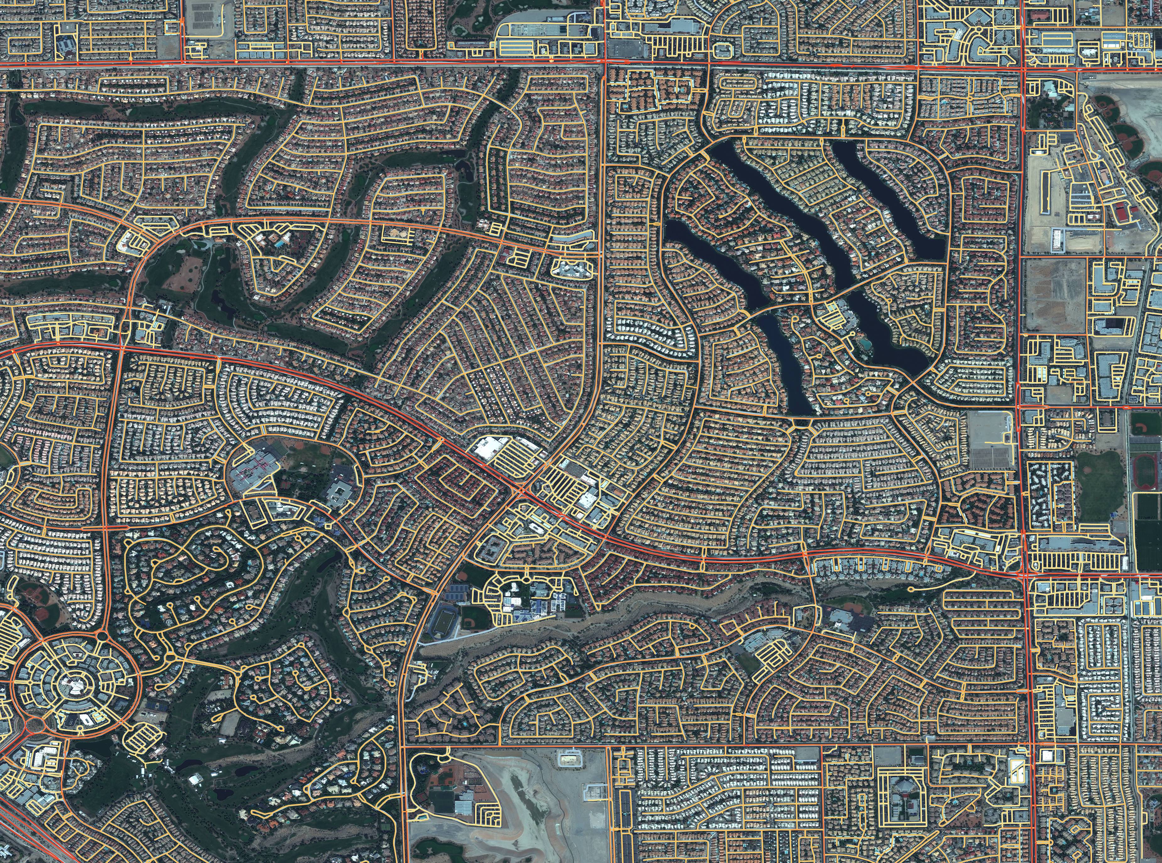
This repository provides an end-to-end pipeline to train models to detect routable road networks over entire cities, and also provide speed limits and travel time estimates for each roadway. We have observed success with both SpaceNet imagery and labels, as well as Google satellite imagery with OSM labels. The repository consists of pre-processing modules, deep learning segmentation model (inspired by the winning SpaceNet 3 submission by albu), post-proccessing modules to extract the road networks, inferred speed limits, and travel times. Furthermore, we include modules to scale up network detection to the city-scale, rather than just looking at small image chips. The output of CRESI is a geo-referenced NetworkX graph, with full access to the many graph-theoretic algorithms included in this package.
For further details see:
- Our WACV Paper
- Blogs:
-
Download this repository
-
Build docker image
nvidia-docker build -t cresi /path_to_cresi/docker/[cpu, gpu] -
Create docker container (all commands should be run in this container)
nvidia-docker run -it --rm -ti --ipc=host --name cresi_image cresi
-
Prepare train/test data, e.g.:
python /path_to_cresi/cresi/data_prep/speed_masks.py -
Edit .json file to select desired variables and point to appropriate directories
-
All at once
cd /path_to_cresi/cresi ./train.sh configs/sn5_baseline.json -
Run commands individually
A. Generate folds (within docker image)
python /path_to_cresi/cresi/00_gen_folds.py configs/sn5_baseline.jsonB. Run train script (within docker image)
python /path_to_cresi/cresi/01_train.py configs/sn5_baseline.json --fold=0
-
All at once
cd /path_to_cresi/cresi ./test.sh configs/sn5_baseline.json -
Run commands individually
A. Execute inference (within docker image)
python /path_to_cresi/cresi/02_eval.py configs/sn5_baseline.jsonB. Merge predictions (if required)
python /path_to_cresi/cresi/03a_merge_preds.py configs/sn5_baseline.jsonC. Stitch together mask windows (if required)
python /path_to_cresi/cresi/03b_stitch.py configs/sn5_baseline.jsonD. Extract mask skeletons
python /path_to_cresi/cresi/04_skeletonize.py configs/sn5_baseline.jsonE. Create graph
python /path_to_cresi/cresi/05_wkt_to_G.py configs/sn5_baseline.jsonF. Infer road travel time and speed limit
python /path_to_cresi/cresi/06_infer_speed.py configs/sn5_baseline.json
Outputs will look something like the image below:


