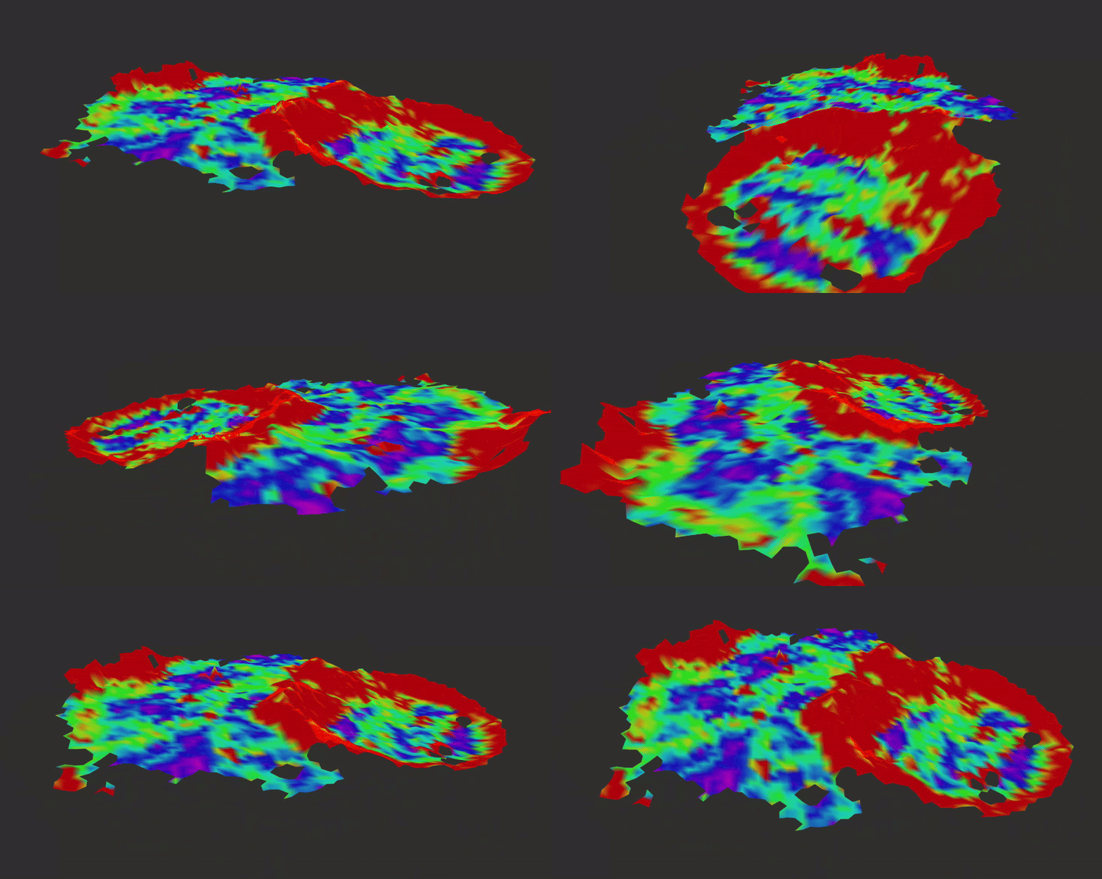
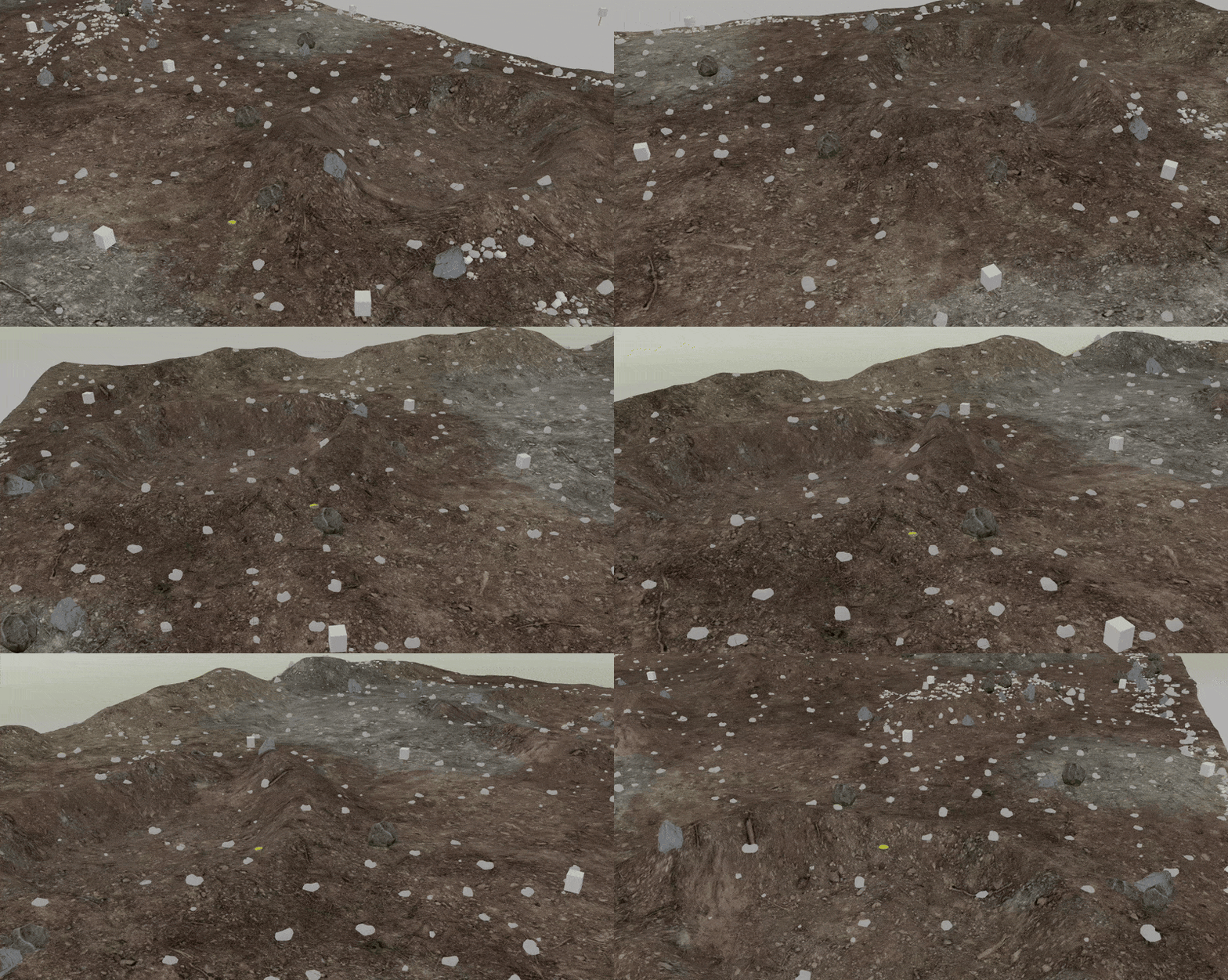
This repository contains the packages responsible for performing realtime global and local traversability mapping and can be very easily integrated with any SLAM system.
 |
 |
|---|---|
| Traversability Map generated with the 3D PointCloud and ORB-SLAM 3 | Gazebo world of the map |
Setup the Gazebo simulation from this repository Gazebo sim
git clone https://github.com/suchetanrs/traversability_mapping
cd traversability_mapping && sudo chmod +x clean_build.sh && ./clean_build.sh
To launch the global traversability mapping, run ros2 launch traversability_mapping_ros global_traversability_mapping.launch.py
To launch the local traversability mapping, run
ros2 launch traversability_mapping_ros local_traversability_mapping.launch.py
You can now visualize the gridmap and the occupancy map via RViz. To launch rviz run
ros2 launch traversability_mapping_ros rviz.launch.py
Setup the Gazebo simulation from this repository Gazebo sim
Important note: Before setting up the below repository. Make sure you checkout on the traversability_integration branch. This will setup the ORB-SLAM3 wrapper along with the traversability mapping integrations during the image build.
Setup the ORB-SLAM3 Wrapper and the traversability system from this repository ORB-SLAM3
To integrate this library with your own SLAM system via CPP, follow this Wiki