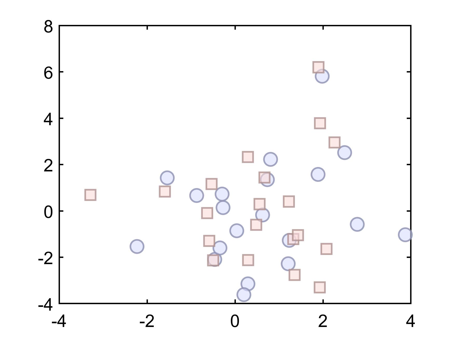
These Maltab codes are more biased towards the direction of Ocean Optic Remote sensing, but they have the same goal in different ways and have enlightenment in all directions.
- Density Scatter Density plot Scatter plot with color indicating data density
- Bathymetry
- Province Boundary
- Fill area
- Supporting files for m_map
- Color imitation
- Alpha Setting
- Unintro ...
If you have any questions or suggestions about the code, please contact [email protected] and I will make corrections in time, Thanks!


