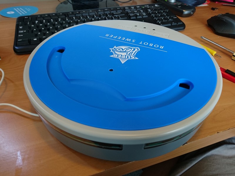
A set of RESTful HTTP microservices running on a Raspberry Pi Zero, inside a very cheap Roomba clone.
This will grow over time of course.
GET to http://[ip]:10000 will return an image from the ceiling-facing camera with embedded (when my hardware arrives) orientation information, stored in the GPSImgDirection Exif tag.
POST of an image to http://[ip]:10001/map will add that image to a map based on SIFT feature detection, returning a composite map image. The "Robot-Step- Succeeded" header returned in the 302 response is the success flag of adding the new image to the map. The 302 response points to the GET on /map.
GET to http://[ip]:10001/map will return the current map. The "Robot-Path" header returned is the ordered list of pixel locations on the map for each image that was uploaded allowing for path display.
DELETE to http://[ip]:10001/map will reset the map to a fresh start.
GET to http://[ip]:10001 will show a test page for exercising the builder with manually uploaded images.
Very WIP.
POST 'command' of 'forward' or 'stop' to http://[ip]:10002/motor/command
GET http://[ip]:10002/motor for a test page.
GET http://[ip]:10003/ for the current magnetic orientation.
The spelling is not a typo, it's a nod to a joke about what sound a 30 foot budgie makes, the budgie in question was being the mascot for a budget shopping chain that formally existed in Tasmania. The robot chassis was bought from a similar place. Sorry.
